Fold the Town Into Your Pocket: A Family Mapping Adventure in Penarth
Photo: see description, Public domain, via Wikimedia Commons
Every family in Penarth carries a map. It is not the kind you buy in a shop or pull up on a phone. It is the route to the school gate that avoids the steep bit, the bench where someone once learned to tie a shoelace, the corner where the bus always seems to come just as you reach it. The Pocket Map Project is a simple invitation to get that map out of your head and onto paper — together.
It is not a formal club or a competition. Think of it more as a family-friendly nudge: take one sheet of A4, a pencil and a short walk, and make a map of the Penarth you actually use. The result might be neat or slightly wonky. It might include the pier, the promenade and the Kymin, or it might focus on the three streets between home and the shop. Both are useful. Both are true.
Start With the Route You Actually Walk
The best pocket maps do not begin with the whole town. They begin with a route. Ask your child to draw the way to school, nursery, a grandparent's house or the leisure centre from memory first — no peeking at a screen. Watch what they include. A dog that always barks. A gate that is good for balancing on. The house with the bright blue door. These details are not clutter; they are the landmarks that make a place feel known.
Grown-ups can join in by drawing their own route from childhood or from their first year in Penarth. Compare the two maps. Where do they overlap? What has changed? This is where the conversation starts, and it is often the best part. A map is a brilliant excuse for a natter across generations.
Symbols Are Sentences
Once the route is down, add symbols. A star for somewhere you learn something. A circle for somewhere you meet people. A question mark for somewhere you wonder about. A small heart for somewhere you simply like being. Suddenly the map is not just about streets — it is about meaning.
Children are naturally good at this. They will mark the library because of the reading corner, the park because of the climbing frame, the beach because of the strange stone they found in July. Grown-ups might mark the community fridge, the noticeboard outside the hall, the café where they once had a useful conversation. Put the maps side by side and you have a portrait of a neighbourhood as a learning place.
The History Under the High Street
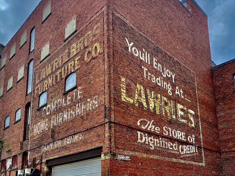
A pocket map can also be a gentle history lesson. Walk the same route again and look for clues: old shop signs, stone walls, a date above a doorway, the shape of a building that does not quite match its neighbours. Penarth has plenty of these if you slow down. The pier, the cliffs, the older streets near the town centre — they all carry stories that are easy to miss when you are hurrying.
You do not need to know the dates. Questions are enough. Why is this road wider here? Who might have walked this way before us? What did this building used to be? If you have an older neighbour or relative, invite them to add one memory to the map. A single sentence — 'I worked there in the seventies' or 'we used to skate down that hill' — turns a drawing into a document.
A Map You Can Fold
When the map is finished, fold it down to pocket size. That is the whole point. A pocket map should be a bit scruffy and much handled. Keep it in a coat pocket for a week and add to it whenever you notice something new. A chalk mark on a wall. A new bench. A tree that has lost its leaves. The map becomes a living record of ordinary curiosity.
This is also a quiet lesson in spatial awareness. Children begin to understand scale, direction and distance without ever being sat down for a geography talk. They learn that a map is not a test of memory but a tool for paying attention. And they learn that their own view of Penarth matters.
Run Your Own Pocket Map Sunday
You could try this at home, in a club, or with a few neighbours on a wet Sunday afternoon. Set out pencils, paper and a biscuit or two. Choose one route. Draw it from memory. Add symbols. Then go for a short walk and correct the map together. Finish with a question: what is one place in Penarth you would put on a map for someone new?
The Pocket Map Project is not really about producing perfect cartography. It is about noticing what we already know, sharing it, and making room for someone else's version of the town. In a learning community, that is a pretty good place to start — one folded sheet at a time.